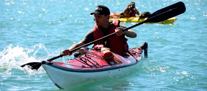
Kayaking - Killarney
Access/Launch:
Docks in Town of Killarney
Chikanishing Creek - Killarney Prov. Pk
Difficulty Level:
Novice
A popular destination with many options for shelter and tastes of the larger Bay.
Length:
2 days
Stay a week and you won't be disappointed.
20 km
Description:
Wind your way down the tiny creek and emerge into the expanse of Bay.
Beautiful pink rock, high white mountains, copious birds, languid wildlife, lush vegetation, and other paddlers with a sense of endless time. The Killarney mountains are really big hills; remnants of mountains once higher than the Rockies.
Paddle SE to Lowe Island, then straight east to Silver Island and the point off Big Rock bay on Philip Edward Island.
There are many campsites, but this area is lousy with paddlers in high season. Don't be surprised to find your favourite site taken. Leave enough time to look for a site.
Maps/Charts:
Topo — 41 H/14
Marine chart — 2204 Byng to Killarney
NOTE: water level forecasts for July for Lake Huron – Georgian Bay are 0.22m (8.6in) above chart datum, which is the marine chart indicated depth.
Fees:
- site and parking fees, $14,00/day/car in Killarney Provincial Park (northern shore of Collins Inlet, north of Philip Edward Island), contact the park at 705-287-2900 or check out the park website or the Friends of Killarney Park
Other:
This area has a long and intriguing history. It's well worth taking a copy of Lynx Images' books that cover the area:
Ghosts of the Bay
The North Channel and St. Mary's River (yes, it applies)
Alone in the Night: Lighthouses of Georgian Bay
James Barry's book Georgian Bay: The Sixth Great Lake is also worth packing along.


